
The location where People’s Park now stands became an urban space early in the 20th century. Census records show the Bay Area’s population increased rapidly between 1920 and 1940; growing from 5,101 to 85,547. This is reflected in the increased density in the boundaries of People’s Park and the expansion of urban development across Berkeley. Ultimately, Berkeley, Oakland, and Albany fused together into a greater metropolitan area.
Historical photos show the architectural styles of several buildings that occupied the location of what is now People’s Park. The Berkeley Architectural Heritage Association has taken the lead in documenting the buildings that once filled what is now People’s Park in two photo series:
Before People’s Park: http://berkeleyheritage.com/essays/before_people%E2%80%99s_park.html
and, Around People’s Park: http://berkeleyheritage.com/essays/around_people%E2%80%99s_park.html
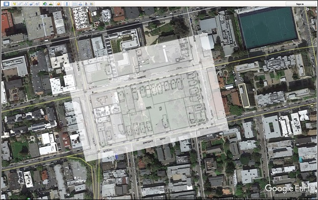
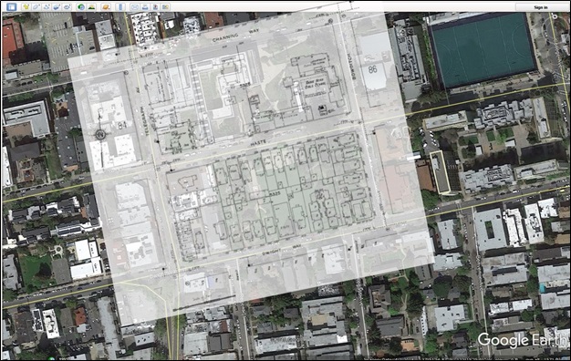
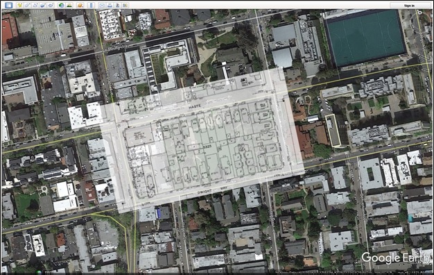
Historical maps and photographs show that most of the initial houses in the park area were constructed around the turn of the twentieth century. Photographs and postcards taken prior to the 1950s show vernacular dwellings built for individual property owners, as was common at the time. Each house was individual but they were similar to extant buildings in blocks that currently surround the park. Preliminary research suggests the earliest buildings in this area were constructed for upper and middle class professionals who used them as private homes.
By the 1920s, multi-family apartment buildings were filling the undeveloped lots in the park area. Over the next three decades, apartment buildings replaced many of the single-family dwellings. The park area was completely developed by the time the U.C. Berkeley started acquiring properties there in the 1950s. While some of these buildings were moved elsewhere in Berkeley, most were demolished by the University in 1968 while at least one building was moved elsewhere in Berkeley.

Check out the informative photo essays on the Berkeley Architectural Heritage Association’s website if you want to know more about the buildings that once occupied this iconic park.